
Drone Roof Inspections in St. George, UT
Drone Roof Inspections Overview
Some roofs are better read from above before anyone steps onto them. A drone can cover an expanse of membrane in a fraction of the time a crew needs on foot, and it can reach the edges, high parapets and sloped sections that are uncomfortable or unsafe to walk. In St. George, UT, that speed has a second use: July and August mean highs run past 100 degrees at the NOAA station, and a drone keeps the crew off a hot dark roof for the worst of the afternoon.
The drone does not replace a hands-on walk. It gives an asset manager a map of the roof, a set of images that locate each concern and a starting point for the next decision: where the crew should go on foot, where infrared should be run and where no further work is needed.
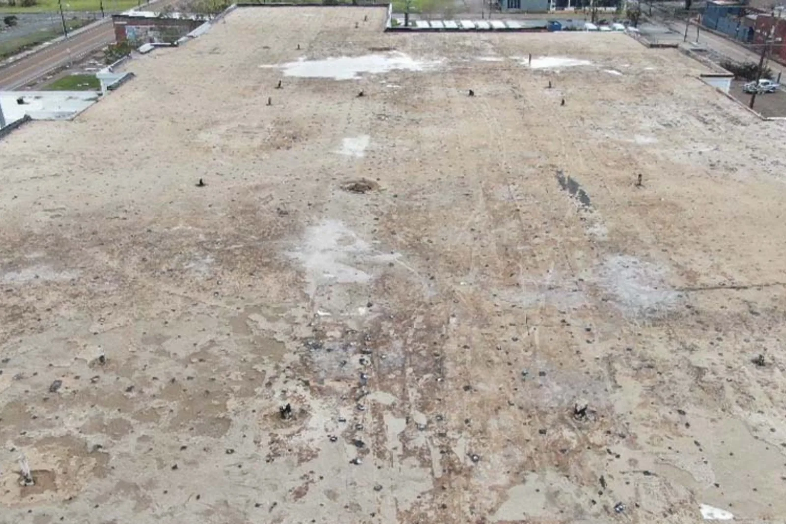
When does a drone make sense for this roof?
Three situations come up most. The first is size: a large roof where walking every square foot would take a full day. The second is access: steep sections, tall buildings, fragile surfaces or roofs with no safe path. The third is documentation: a before and after record for a sale, a lease turnover or a storm claim, where dated images carry weight.
The mix of property types across the city makes all three common. Business parks and industrial areas such as Fort Pierce Industrial Park, with zoning that allows warehousing and light manufacturing, include buildings whose uses and footprints differ. The first look from the air tells us which of them need ground crews and which can be cleared with imagery alone.
The mixed uses planned at Tech Ridge, with office, retail and residential together, raise the third case: several roof types on one site, each wanting a record. One flight day can capture the whole set and keeps the images in a single file, which is easier to hand to an owner's group than a stack of separate walkthrough notes.
Storm response is a fourth case. After wind or hail, an aerial pass shows displaced membrane, damaged equipment and debris on the roof before anyone steps onto a surface that may be unsafe. If the images show an active opening, the emergency crew goes straight to that spot.
What does the flight collect?
A visual pass records high-resolution images in overlapping rows so the roof can be stitched into one view or checked section by section. Close passes capture details: drains, curbs, penetrations, edge metal, ridges and seams. Obliques show wall tops, parapets and the transition from roof to wall.
A thermal pass adds a second layer. A thermal camera detects differences in surface temperature, which can point to wet insulation after the sun goes down. Flights for thermal work are scheduled at dusk or before dawn, when the roof gives off stored heat unevenly. We treat thermal anomalies as questions, not answers: a warm patch might be wet insulation, a different thickness or a rooftop duct below the deck. Cores and a moisture meter confirm what the images suggest, so the finding is not left on a screen.
Each image is tagged to its position on the roof, and the set is arranged in the order the roof is laid out: field first, then edges, then equipment. A manager can scroll the set like a walk, and a repair crew can find a defect from the photograph alone. We flag anything that looks like active water entry so it moves to the front of the line.
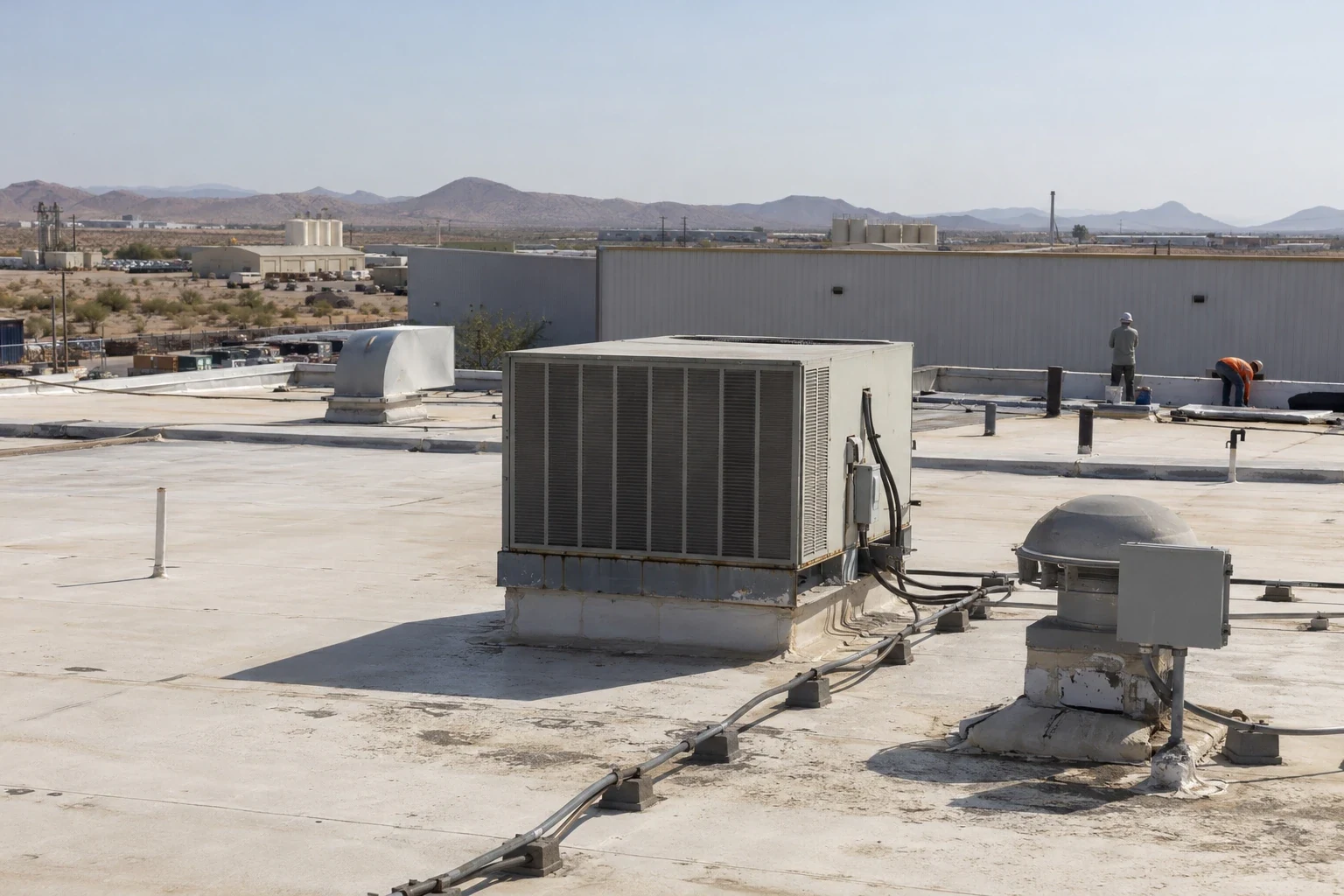
What can a drone not tell you?
It cannot probe a seam, press on a soft spot or hear a hollow deck. It cannot see the underside of a membrane, and it cannot tell whether a sealant bead is still pliable. Overhead tree cover, glare on a white membrane and shadow from tall parapets can also hide details. The report identifies which areas were imaged clearly and which still need a walk.
For that reason we pair flights with a hands-on inspection on any roof where the images show a problem, and we say plainly in the findings what the images established and what stayed open. Owners get a map of concerns, ranked, with the next step beside each.
Reflective membranes need care. A white sheet under bright desert sun can wash out in photographs, and details like seam lines and small cracks disappear. We fly at the angle and hour that give the best contrast, usually the early morning, and we note where glare limited what the camera could show.
How is the flight planned around an operating building?
Flights need the building's permission, a clear launch area and attention to what is around the property. We confirm access rules, tenant notice, neighboring structures and overhead obstacles before the visit. A drone does not need to cross occupied space, but we plan routes so it does not hover over parking, loading lanes or entrances while people are working below.
Wind limits the work. Gusty conditions make images shaky and flights unsafe, so a flight may move to a calmer morning. We keep the schedule flexible for that reason and tell the building contact about changes as early as we can.
The roof itself sets other limits. Rooftop equipment may throw heat, exhaust or noise, and fans or antennas can affect the flight path. We note these on the plan and keep clear of them. If the building hosts sensitive uses, we agree on flight hours so the drone is not overhead during procedures or quiet periods.
What does the owner receive after the flight?
The deliverable is a set of annotated images, a roof map that places each finding and a short written summary of condition. Findings are grouped by priority: urgent items, items to watch and items that need ground verification. The asset manager can forward the images to a mechanical contractor, an insurer or a lender without explanation, because each carries a label and a location.
The same set helps with due diligence roof surveys on a property that is being bought or financed, where a fast, complete first look matters before a full inspection is authorized. For ongoing portfolios, repeated flights show how a roof changes from year to year, which supports roof asset management.
Commercial Roofing Questions
Can a drone find leaks?
Not by itself. It can show ponding, damaged flashing, displaced material and, with a thermal camera, areas that may hold moisture. A leak is confirmed with moisture evidence and a physical check. The drone narrows the search and shortens the time the crew needs on the roof.
Do you need permission from neighbors or the airport?
Flights follow the airspace rules that apply to the site, and we check them before launch. For buildings near restricted airspace, planning comes first. We also notify the property contact and, where it matters, adjacent owners, so no one is surprised by a drone overhead.
Is a drone survey enough for an insurance claim?
It supplies dated images that show visible damage, which helps. Insurers often want hands-on findings too, especially for hidden damage in the insulation or deck. We pair the two where a claim is involved and keep both in the same file.
How long does the flight take?
A visual pass over a typical building takes less time than the planning and the paperwork around it. Thermal flights add a window at dusk or dawn. We confirm the schedule once we know the roof size, the obstacles and the weather.
Will the images show the condition of the membrane?
They show the surface: ponding, splits, patches, staining, blistering and debris. They do not show what lies below. For age and wear, we correlate the images with a walk and sometimes a core sample.